The peak is probably the most known sight seeing spot in HK. If you are first time in Hong Kong, you can combine visiting the Peak with hiking. The hiking route is from the Peak to Pok Fu Lam Reservoir, which is about 2-hour walk. This route is actually a section of the so-called “Hong Kong Trail” and therefore all the way you will be guided by the “Hong Kong Trail” sign and will not get lost.
  The walk is easy too, good for family with kids. The “hardest” part is probably the last part comprising gentle downhill. All in all, it is an easy walk and you can have a bird’s eye view of the Victoria harbour and city during the first part of the walk.
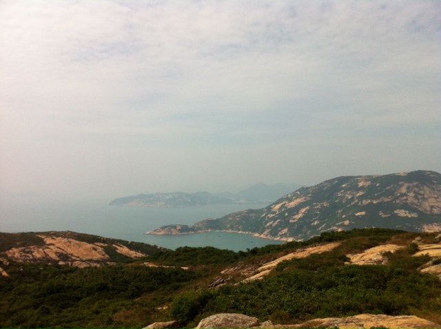
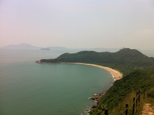
Starting point: Find “Lugard Road” which is at your right side once you leave the Peak Tower, and the “Hong Kong Trail” sign also appears. The walk is indeed very leisurely. The road is paved and shady, flanked by trees, and the city simply unfolds underneath as you saunter.


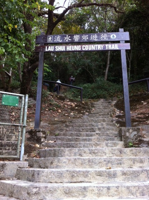
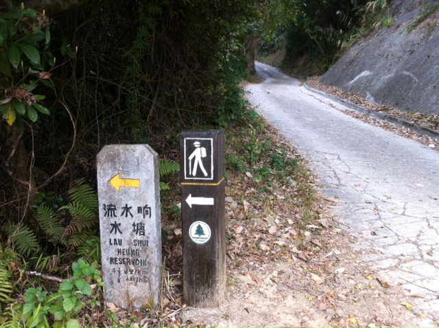
 There is an intersection after about 1 hour. Please turn right here into the Harlech Road towards Pok Fu Lam Reservoir. The walk from now on is mostly downhill and it is more fun as it is a dirt / stone path instead of a paved road, feeling like hiking in the woods.
  Towards the end, after a long flight of stairs you will reach the small Pok Fu Lam Reservoir, which was the first reservoir in Hong Kong, dating back to 1863.
  Once you reach the reservoir, Pok Fu Lam Road is just around the corner (just turn right if you face the reservoir and it will lead to Pok Fu Lam Road) and there you can find buses in all sorts of direction including going to Central.
The hints about HK’s political realities are everywhere along the route, if you care to look. A slogan was painted by hand on a stand, which says “Downfall with CY”. CY is HK’s very unpopular Chief Executive, who was late for a function in London earlier because he said he was so moved by the Chinese national flag he saw he had to get off the car and show respect, leading to the delay.  And you know what, the city’s main government contractors making big money are now all mainland companies, including the contractor for prevention of landslides in the Peak. This sign says it is “China Geo-engineering Corporation”.